Buckle up, LA. This heat is going to be with us for a while
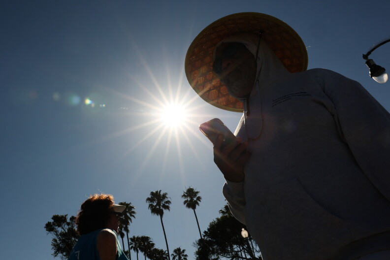
Sweltering summer days have arrived in Southern California, with temperatures this week expected to climb to the triple digits in some places.
The National Weather Service has extended heat advisories for much of the region through Tuesday morning. Large swaths of L.A. County will also be under a more severe extreme heat watch next week: July 14 through July 16.
The forecast
L.A. County: Over the weekend and into early next week, temperatures in the valleys are expected to hit about 105 degrees, while the coasts hover in the 70s. Interior valleys and mountains, including Pasadena and Glendale, could see temperatures climb to over 110 degrees during next week’s extreme heat watch. Coastal temperatures could hit 90 degrees during that time.
Orange County: O.C. will avoid some of the highest temperatures this week. Inland highs will be in the 80s, and coastal temperatures will stay mostly in the 70s.
Inland Empire: Riverside County and San Bernardino County valleys could see temperatures up to the low 100s, while the area’s mountains will hit the mid-90s.
Coachella Valley: The National Weather Service has declared a more severe Extreme Heat Warning for the Coachella Valley, where temperatures are expected to climb as high as 117 degrees. It is also expected to stay relatively warm overnight, with lows falling only to the 80s.
The elevated temperatures are expected to pose a significant risk of heat illness, especially for the elderly, young children and other sensitive populations.
What’s driving the high temperatures?
Much of the heat will be driven by a combination of two meteorological forces: a high-pressure system hovering over Southern California and off-shore winds, commonly called Santa Ana winds.
“Everything is dictated by which way your winds are blowing and high-pressure systems,” said Lisa Phillips, a meteorologist with the National Weather Service office in Oxnard.
High-pressure systems push warm air down, trapping it closer to the ground. Then, the offshore winds carry dry, hot air from inland deserts toward the coast, raising temperatures in the L.A. basin even higher.
The heat wave also comes as the marine layer weakens. The marine layer, often called June gloom, is lower-temperature air and cloud cover generated by changing temperatures in the late spring and early summer. As the summer gets warmer, the marine layer retreats.
Fire risk
The high temperatures and dry conditions this week will also exacerbate fire danger, particularly in the region’s valleys, foothills, mountains and other areas away from the coast.
Philips warned residents to be extra cautious as the heat and offshore winds dry out vegetation. That creates more potential fuel.
“We are headed into our fire weather season, where we have more wildfires. The vegetation is dry, so it does catch fire more easily,” Phillips said. “That just means that fires are going to be a lot more easy to start.”
Southern parts of Santa Barbara County are expected to see more significant fire weather, with periods of gusty winds.
What’s next?
Temperatures are likely to dip starting Friday, though the heat advisory will remain in effect.
The high-pressure system is expected to move to the east, and some southerly winds could bring cooling moisture with them. But Phillips said temperatures will come down only slightly and are expected to remain above average throughout the weekend.
The slight respite won’t last long either. Another, possibly worse, heat wave is right around the corner.
“We could be looking at even warmer temperatures next week,” Phillips said.